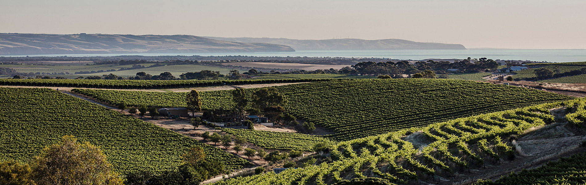
“Young” flood plain soils and “old” upland calcareous soils mark the two types of Langhorne Creek’s vineyard setttings.
The original and many recent vineyards are planted on the floodplain of the Bremer and Angas Rivers which flow into Lake Alexandrina. The soils from the upland areas formed on the old rocks of the spine of Fleurieu Peninsula and have been eroded and washed downstream and redeposited as alluvium that is tens of metres deep. This is a process that is repeated any time the two rivers flood. Most of these vineyards have an elevation of less than ten metres. They are called here the ‘flood plain soils’.
Many of the newer vineyards are planted on an older surface that is largely flat but is slightly higher than the floodplain vineyards and have an elevation generally above ten metres. The origin of the underlying rocks is not defined on the geological maps. It may be related to an earlier and much larger lake system. The rocks are calcareous and the overlying soils include wind blown sediment and remobilised calcium redeposited as ‘calcrete’. These soils are referred to here as the ‘upland calcareous soils’.
Calcium readily goes into solution and redeposits to form nodules and sheets, termed calcrete, which are an important near surface feature of much of the landscape of arid Australia.
The Age of the Soils
The ‘flood plain soils’ are very young and have been deposited over the last 10,000 years. The ‘upland calcareous soils’ while recent are partly derived from sediments that date back several hundred thousand years.
The fluctuation of the sea level, the result of growth of the ice caps and their subsequent melting, have played a significant role in the development of the landscape.
For Australia the last 500,000 years corresponds with the general onset of a warm, dry, windy climate from a wetter, more humid climate. This steady climate change combined with the repeated infilling and eroding of the Bremer and Angas Rivers with the ice-age fluctuations influenced the developent of the Langhorne Creek landscape.
In summary the soils of Langhorne Creek have a different origin -a range to the west versus a range to the east – to those along the banks of the Murray River. However they are not dissimilar and share an alluvial source combining with wind blown sediments and mobilised calcium redeposited as nodules, layers and hardpans.
In this respect Langhorne Creek can be thought of as the most southerly of the vineyards that border the Murray River and which extend all the way back to Rutherglen near Albury-Wodonga.
For further information on Langhorne Creek see Langhorne Creek Wine Region